Which Ecological Surveys Do I Need?
Most planning applications that affect greenfield land, buildings, trees or water features trigger ecological survey requirements.
Use the guide below to identify the survey stage most likely to apply to your scheme.
A Quick Guide to Ecology Surveys
Local Planning Authorities often require ecological evidence where development proposals may affect habitats, protected species, or other ecological features. Identifying those considerations early can make a significant difference to the planning process, helping to avoid unexpected delays, seasonal survey constraints, and last-minute design changes.
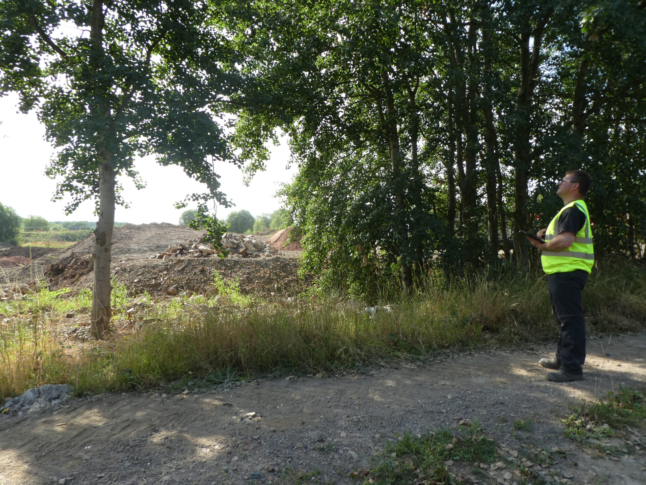
That is where ProHort can help. We provide the ecological surveys and assessments needed to support planning applications, giving homeowners, architects, developers, and landowners a clear understanding of the ecological requirements affecting their site. With that information in place early, projects can move forward with greater certainty and fewer surprises along the way.
Preliminary Ecological Appraisal (PEA)
When: preparing a planning application or where boundaries include vegetation or mixed habitats.
Purpose: establish the ecological baseline early.
Timing: year-round.

Botanical Surveys
When: grassland, wetland or species-rich vegetation influences BNG or design.
Purpose: confirm species composition and habitat distinctiveness.
Timing: May – September.


Habitat Action Plans (HAP)
When: long-term habitat management or enhancement is required by planning conditions.
Purpose: structure post-planning habitat delivery and BNG stewardship.
Timing: year-round once baseline data exists.
Species Action Plans (SAP)
When: protected or priority species are recorded or predicted.
Purpose: formalise mitigation, enhancement and monitoring actions.
Timing: year-round (plans informed by seasonal survey data).


Environmental Impact Assessment (Ecology)
When: schemes meet EIA thresholds or affect designated habitats.
Purpose: provides the ecology chapter for Environmental Statements.
Timing: Season-dependent — scope early to avoid delays.
Ecological Clerk of Works (ECoW)
When: development enters construction and ecological conditions, licences or RAMS apply.
Purpose: oversee site activity so ecological requirements are followed in practice, not just on paper.
Timing: year-round.


Ecological Method Statements
When: Required where ecological constraints or planning conditions need to be managed during construction.
Purpose: Sets out the measures needed to protect habitats and species during site works.
Timing: Usually prepared before construction begins — early instruction helps avoid programme delays.
Your Next Step
Every site is different, and the surveys or ecological support required will depend on the habitats, species, planning context, and proposed works involved. Understanding those requirements early can help avoid delays, reduce uncertainty, and give your project a clearer path forward.
ProHort provides practical, planning-focused ecological advice alongside clear, technically robust reporting, helping homeowners, architects, developers, and landowners move forward with confidence. If you are unsure which survey or ecological service applies to your project, our team can review your proposal and advise on the most appropriate next step.
Ecological Surveys FAQs
What is an ecology survey?
An ecology survey assesses how a proposed development interacts with habitats and protected species. It establishes the ecological baseline required for a planning application and determines whether further surveys or assessments are necessary.
Most projects begin with a Preliminary Ecological Appraisal (PEA), which identifies site constraints and defines the appropriate next steps.
Do I need an ecology survey for planning permission?
You may need an ecology survey for planning permission where development could affect habitats or protected species. Local planning authorities require ecological evidence to validate applications and assess environmental impact.
Depending on the scale and sensitivity of the project, this may include a PEA, targeted protected species surveys, a Botanical Survey, or an Ecological Impact Assessment (EcIA).
What does an ecological survey involve?
An ecology survey typically begins with a Preliminary Ecological Appraisal (PEA), including habitat mapping and assessment of protected species potential.
Where required, this may progress to:
Targeted species surveys
A Botanical Survey
An Ecological Impact Assessment (EcIA) for larger or more complex schemes
Each stage is defined by site evidence and planning requirements.
When is an Ecological Impact Assessment (EcIA) required?
An Ecological Impact Assessment (EcIA) is required where development is likely to result in significant ecological effects. It evaluates impacts, proposes mitigation measures and supports planning decision-making on larger or environmentally sensitive projects.
What is an Ecological Clerk of Works (ECoW)?
An Ecological Clerk of Works (ECoW) provides on-site ecological supervision during construction. This ensures works comply with planning conditions, method statements and protected species requirements.
ECoW support reduces risk during site operations and helps contractors meet environmental obligations.
What is a Botanical Survey?
A Botanical Survey records plant species and habitat composition within a site. It may be required where habitat quality, Biodiversity Net Gain calculations or designated plant communities are relevant to planning.
What are Species Action Plans (SAP) and Habitat Action Plans (HAP)?
Species Action Plans (SAP) and Habitat Action Plans (HAP) set out long-term management measures to protect or enhance ecological features. They may form part of mitigation strategies or planning conditions where biodiversity enhancement is required.
How much does an ecology survey cost?
The cost of an ecology survey depends on site size, habitat type and whether additional assessments such as a Botanical Survey, EcIA or protected species surveys are required. Early ecological input helps define requirements clearly and manage cost.
How long is an ecology survey valid?
Ecology survey reports, including PEAs and EcIAs, are generally considered valid for up to two years, provided site conditions have not materially changed. Planning authorities may request updated surveys where necessary.
Why are ecological surveys important in planning?
Ecological surveys provide the evidence required for planning validation and decision-making. They identify environmental risks early, inform mitigation design and support Biodiversity Net Gain requirements.
Without appropriate ecological evidence, applications may be delayed or subject to additional information requests.


 - ProHort Ltd")


 - ProHort Ltd")